BAY BULLETIN
BAY BULLETIN
ISSUED ON : 27- 11 – 2025 AT: 12:00 hrs M.S.T
SPECIAL :
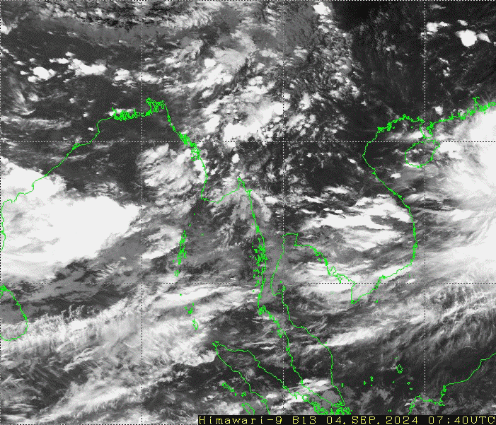
PART ONE : According to the observations at 10:30 hrs MST today, the Cyclonic Storm “SENYAR” over Northeast of Indonesia and adjoining the Strait of Malacca has moved East-Southeast and downgraded into a Deep Depression. It is centered at about 380 Nautical miles South of Kawthaung (Myanmar), 120 Nautical miles South-Southwest of Penang(Malaysia), 150 Nautical miles Southeast of Kuta Makmur(Indonesia) and 495 Nautical miles Southeast of Car Nicobar (India). It is likely continue to move Eastwards and may weak into a depression during next 12 hours. According to the observations at 10:30 hrs MST today, the Depression over the Southwest Bay of Bengal and adjoining Sri Lanka Coast has moved North-Northwest and intensified into a Deep Depression. It is centered at about 800 Nautical miles South-Southwest of Coco Island (Myanmar), 150 Nautical miles South-Southeast of Tricomalee(Srilanka), 370 Nautical miles South-Southeast of Puducherry(India). It is likely to move North-Northwestwards and further intensify into a Cyclonic Storm during next 12 hours. Thereafter, it is likely continuing to move North-Northwestwards and further intensify towards North Tamil Nadu and adjoining South Andhra Pradesh coasts.
PART TWO :
PART THREE:
FORECAST FOR AREAS BETWEEN LAT. 10.5°N – 16.5°N AND LONG. 92°E
WEATHER :
VISIBILITY :
SURFACE WIND :
SEAS :
WAVE HEIGHT :
FORECAST FOR AREAS BETWEEN LAT. 16.5°N –20.5°N AND LONG. 92°E
WEATHER :
VISIBILITY :
SURFACE WIND :
SEAS :
WAVE HEIGHT :
HOIST : Signal LC III(Section III, VI), DC II(Section VI)
ADD :
PLACE : MLM, DWE, KONG, COI, PTH, YGN