Myanmar Daily Weather Report
Myanmar Daily Weather Report
(Issued at 7:00 am Saturday 30th May, 2026)
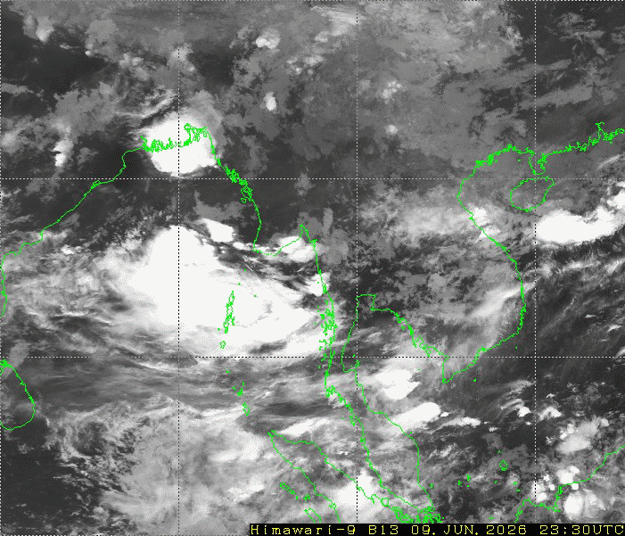
BAY INFERENCE:Monsoon is moderate to strong over the Andaman Sea, South Bay, Eastcentral and Northeast Bay of Bengal. Weather is partly cloudy to cloudy over the Andaman Sea and Bay of Bengal.
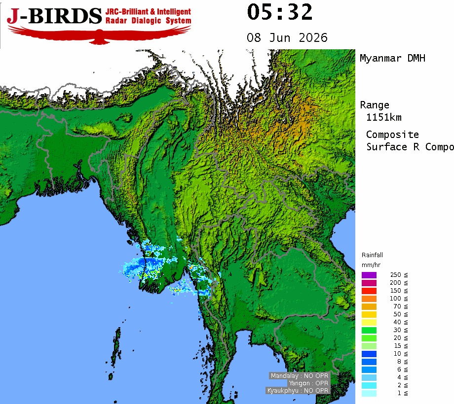
FORECAST VALID UNTIL NOON OF THE 30th May 2026: Rain or thundershowers will be scattered in Sagaing Region and Kachin, Kayah, Chin States, fairly widespread in Naypyitaw, Mandalay, Magway Regions and widespread in the remaining Regions and States with likelihood of regionally heavyfalls in Ayeyarwady Region and isolated heavyfalls in Rakhine State. Degree of certainty is 100%.
THE CONDITION OF CUMULONIMBUS CLOUD: The Cumulonimbus clouds are developing in Yangon, Bago, Magway, Sagaing, Ayeyarwady Regions and Kachin, Rakhine, ShanStates. The area along the Cumulonimbus clouds movement, the weather phenomena such as strong winds accompanied with rain, thunder, lightning and hail may occur and therefore it is recommended to be aware in advance these phenomena.
STATE OF THE SEA: STATE OF THE SEA: Squalls with moderate to rough seas are likely at times in Deltaic, Gulf of Mottama, off and along Mon-Taninthayi Coasts. Surface wind speed in squalls may reach 25-30 mph. Wave height will be about 7-9 feet in Deltaic, Gulf of Mottama, off and along Mon-Taninthayi Coasts. Sea will be moderate elsewhere in Myanmar waters. Wave height will be about 6-8 feet off and along Rakhine Coast.
OUTLOOK FOR SUBSEQUENT TWO DAYS: Continuations of thundery activities in the Northern Myanmar areas.
FORECAST FOR NAYPYITAW AND NEIGHBOURING AREA FOR 30th May 2026: Isolated rain or thundershowers. Degree of certainty is 100%.
FORECAST FOR YANGON AND NEIGHBOURING AREA FOR 30th May 2026: Isolated rain or thundershowers. Degree of certainty is 100%.
FORECAST FOR MANDALAY AND NEIGHBOURING AREA FOR 30th May 2026: Isolated rain or thundershowers. Degree of certainty is 80%.