 Burmese
 English

Well Marked Low Pressure Area Conditions
Well Marked Low Pressure Area Conditions
Issued at 12:00 hours M.S.T on 22-9-2026
Well Marked Low Pressure Area Condition
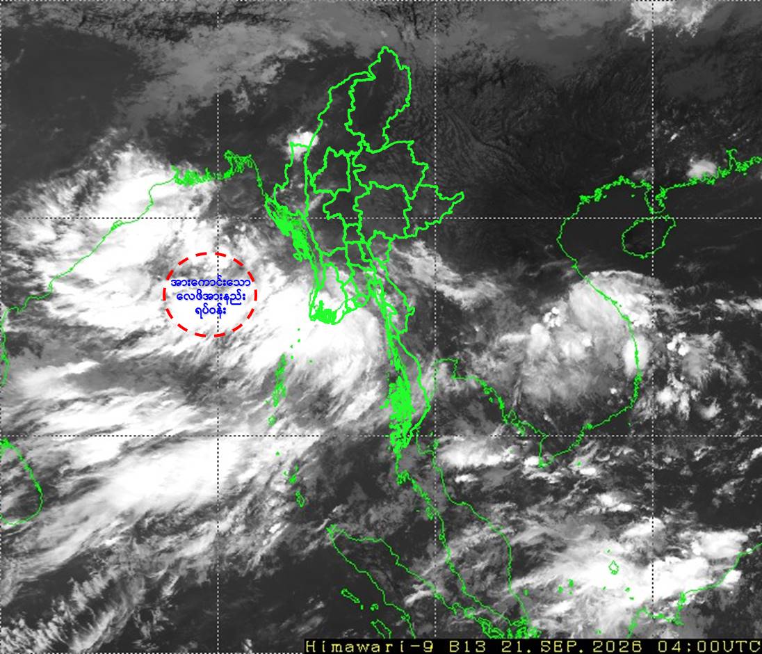
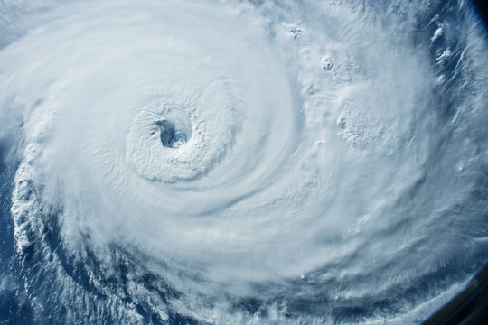
According to the observations at 10:30 hrs MST today, the Low Pressure Area over the Eastcentral Bay of Bengal(Near the offshore area of the Deltaic, Myanmar) has moved West-Northwestwards and intensified into a Well Marked Low Pressure Area over the Eastcentral Bay of Bengal and adjoining Westcentral Bay of Bengal.
Next 48 hours forecast
It is likely to move West-Northwestwards and further intensify into a Depression over the Westcentral Bay of Bengal during next 24 hours and into a Deep Depression over the Westcentral Bay of Bengal and adjoining Northwest Bay of Bengal during next 48 hours. Continuing to move West-Northwestwards and it is likely to reach over the North Andhra Pradesh Coasts- South Odisha, India.
General caution
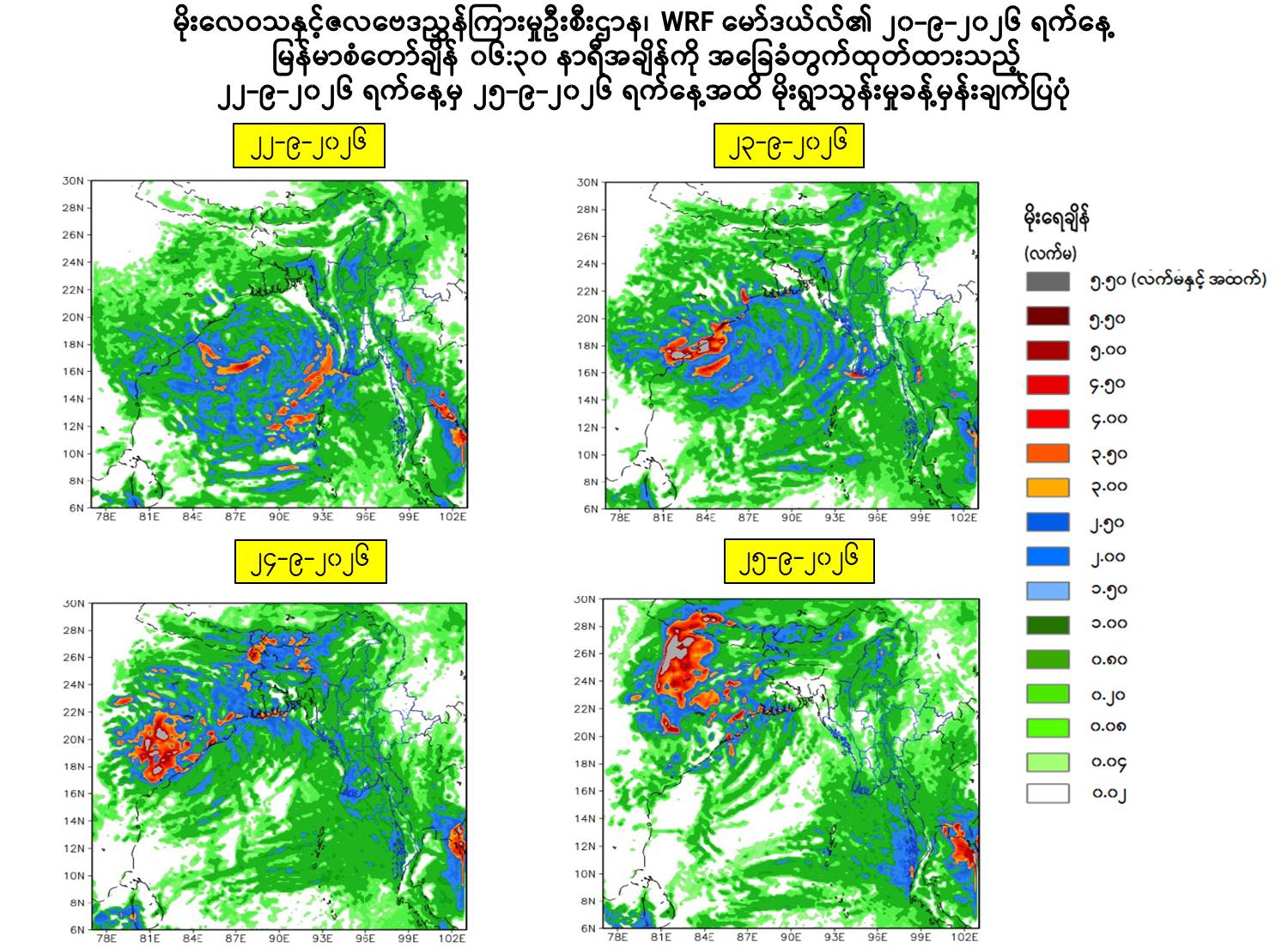
Due to the Well Marked Low Pressure Area, rain or thundershowers are likely to be scattered in Upper Sagaing Region and Kachin, (Northern and Eastern) Shan States and fairly widespread to widespread in Naypyitaw, Yangon, Mandalay, Bago, Magway, Lower Sagaing, Ayeyarwady, Taninthayi Regions and Kayah, Kayin, Chin, Mon, Rakhine, Southern Shan States with likelihood of isolated heavyfalls in Yangon, Mandalay, Bago, Magway, Lower Sagaing, Ayeyarwady, Taninthayi Regions and Kayin, Mon, Rakhine States during today noon to 25-9-2026.
Occasional squalls with rough sea will be experienced off and along Myanmar Coasts. Surface wind speed in squall may reach 35 mph. Wave height will be about 9-12 feet in off and along Myanmar Coasts.
Advisory
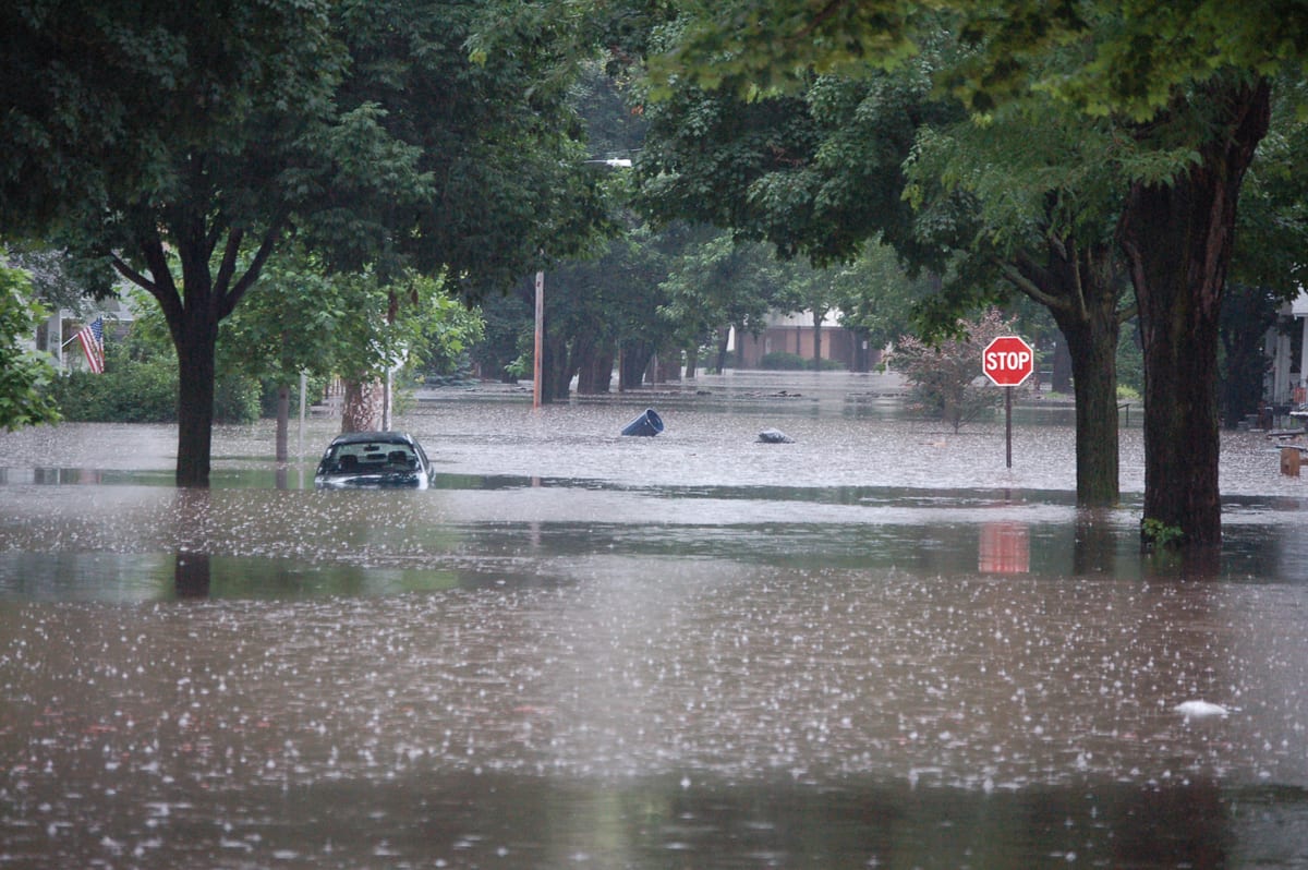
People should be awared the natural disasters such as the heavy rainfall with strong wind, thunder, Lightning strike, lightning, hails, flash flood and landslide in the hilly areas and near small rivers and to make necessary preparations for inland water transport, domestic flight and irrigation dams.




 R E P O R T S
