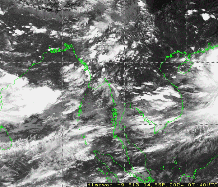
10-6-2026 Occasional squalls with rough seas will be experienced off and along Myanmar Coasts. Surface wind speed in squall may reach 35 mph. Wave height will be about 11-13 feet off and along Myanmar Coasts.
Earthquake News
EARTHQUAKE NEWS
A slight earthquake of magnitude (3.7) Richter Scale with its epicenter inside Myanmar (about (12) miles north-northeast of Kalewa), latitude 23.38°N, longitude 94.34°E, depth (27)kilometers, about (58) miles south of Tamu seismological observatory was recorded at (08)hr (47)min (42)sec M.S.T on 16th January, 2019.
EARTHQUAKE NEWS
(Issued at 23:00 hour M.S.T.)
A Slight earthquake of magnitude (3.7) Richter Scale with its epicenter inside Myanmar (about (13) miles east of Paukkhaung), latitude 18.92°N, longitude 95.75°E, depth (10) kilometers about (45) miles west of Taungoo seismological observatory was recorded at (22)hr (35)min (44)sec M.S.T. on 10th January, 2019.
EARTHQUAKE NEWS
(Issued at 02:00 hour M.S.T Today)
A slight earthquake of magnitude (4.0) Richter Scale with its epicenter inside Myanmar (about (6)miles southeast of Mawlaik), latitude 23.61°N, longitude 94.48°E, depth (73) kilometers about (43) miles south-southeast of Tamu, seismological observatory was recorded at (01)hr (24)min (53)sec M.S.T on 9th January, 2019.
EARTHQUAKE NEWS
A moderate earthquake of magnitude (5.0) Richter Scale with its epicenter outside Myanmar(Andaman Islands, India Region), latitude 12.02°N, longitude 93.21°E, depth (75) kilometers about (387) miles southwest of Kaba-Aye seismological observatory was recorded at (20)hr (33)min (45)sec M.S.T. on 3rd January, 2018.
EARTHQUAKE NEWS
(Issued at 08:15 hour M.S.T.)
A slight earthquake of magnitude (3.9) Richter Scale with its epicenter inside Myanmar (about (12) miles northwest of Mohnyin), latitude 24.92°N, longitude 96.27°E, depth (10)kilometers, about (51) miles north of Katha seismological observatory was recorded at (07)hr (43)min (09)sec M.S.T on 2nd January, 2019.
EARTHQUAKE NEWS
A slight earthquake of magnitude (4.5) Richter Scale with its epicenter inside Myanmar (about (16) miles north-northeast of Matupi), latitude 21.82°N, longitude 93.52°E, depth (25) kilometers about (57) miles south of Hakha seismological observatory was recorded at (20)hr (03)min (11)sec M.S.T. on 31st December, 2018.
EARTHQUAKE NEWS
A slight earthquake of magnitude (4.0) Richter Scale with its epicenter inside Myanmar (about (14) miles east of Mawlaik), latitude 23.64 °N, longitude 94.62 °E, depth (89) kilometers about (44) miles southeast of Tamu seismological observatory was recorded at (05)hr (42)min (35)sec M.S.T. on 29th December, 2018.
မြေငလျင်သတင်းထုတ်ပြန်ချက်
၂၀၁၈ ခုနှစ်၊ ဒီဇင်ဘာလ (၂၇)ရက်နေ့၊ မြန်မာစံတော်ချိန် (၂၃)နာရီ၊ (၁၆)မိနစ်၊ (၀၉)စက္ကန့် အချိန်တွင် ကမ္ဘာအေးမြေငလျင်စခန်းမှ အနောက်တောင်ဘက် (၃၂၈) မိုင် ခန့်ကွာဝေးသော မြန်မာနိုင်ငံပြည်ပ (Andaman Islands, India Region) မြောက်လတ္တီတွဒ် (၁၂.၈၉) ဒီဂရီ၊ အရှေ့လောင်ဂျီတွဒ် (၉၃.၃၅) ဒီဂရီ၊ အနက်(၇၇) ကီလိုမီတာကို ဗဟိုပြု၍ အင်အားရစ်(ခ်)တာစကေး (၅.ဝ)အဆင့်ရှိ အင်အားအသင့်အတင့်ရှိသော မြေငလျင်တစ်ခု လှုပ်ရှားသွားကြောင်း တိုင်းထွာရရှိပါသည်။
EARTHQUAKE NEWS
A Moderate earthquake of magnitude (5.0) Richter Scale with its epicenter outside Myanmar (Andaman Islands, India Region), latitude 12.89°N, longitude 93.35°E, depth (77)kilometers about (328)miles southwest of Kaba-Aye seismological observatory was recorded at (23)hr (16)min (09)sec M.S.T on 27th December, 2018.
EARTHQUAKE NEWS
(Issued at 07:40 hour M.S.T Today)
A moderate earthquake of magnitude (5.0) Richter Scale with its epicenter inside Myanmar (about (17) miles southeast of Mawlaik), latitude 23.40°N, longitude 94.52°E, focal depth (74)kilometers about (58) miles southeast of Tamu seismological observatory was recorded at (07)hr (05)min (50)sec M.S.T on 27th December, 2018.