 Burmese
 English

BAY BULLETIN
BAY BULLETIN
ISSUED ON : 16 – 3 - 2022 AT: 13:00 hrs M.S.T
COMPOUND :
PART ONE : According to the observations at (12:30)hrs M.S.T today, the low pressure area over Southwest Bay of Bengal and adjoining Equatorial Indian Ocean. It is now lie over South Bay of Bengal still persists. It is likely to move East-Northeast wards and it is likely to intensify into a Depression over the Southeast Bay of Bengal and adjoining Andaman Sea at (20.3.2022). It is continuous forecast to move North-Northwestwards and it intensified into a Cyclonic Storm. And then it is recurve to North-Northeastwards and it is likely to reach Bangladesh and Rakhine coast of Myanmar at (23.3.2022).
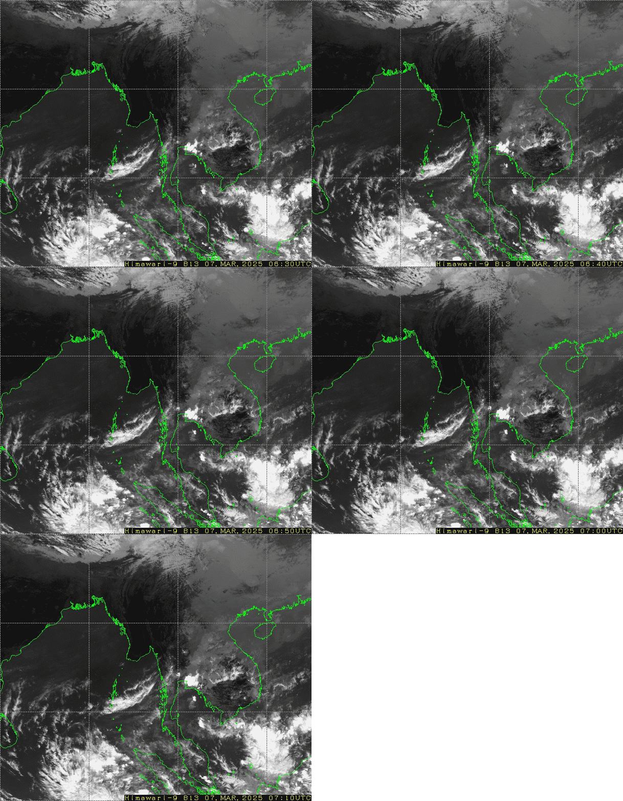
PART TWO : Weather is cloudy over the South Bay and generally fair over the North Bay and a few cloud to partly cloudy over the Andaman Sea and elsewhere over the Bay of Bengal.
PART THREE :
FORECAST FOR AREAS BETWEEN LAT. 10.5°N – 16.5°N AND LONG. 92°E
WEATHER : Isolated rain or thundershowers.
VISIBILITY : (4) nautical miles but (1) nautical mile in rain.
SURFACE WIND : West or Northwest (5 - 10) kts at times (20)kts.
SEAS : Slight to moderate.
WAVE HEIGHT : (4-7)ft.
FORECAST FOR AREAS BETWEEN LAT. 16.5°N – 20.5°N AND LONG. 92°E
WEATHER : Partly cloudy.
VISIBILITY : (5) nautical miles.
SURFACE WIND : East or Southeast (5 - 10)kts at times (20)kts.
SEAS : Slight to moderate.
WAVE HEIGHT : (4-7)ft.
HOIST :
ADD :
PLACE :





 R E P O R T S
