Weather Forecast for first 10 days of September, 2016
၂၀၁၆ ခုနှစ်၊ စက်တင်ဘာလ ပထမ(၁၀)ရက်ပတ်အတွက် မိုးလေဝသခန့်မှန်းချက်
(၂၈.၈.၂၀၁၆)ရက်နေ့ထုတ်ပြန်ချက်
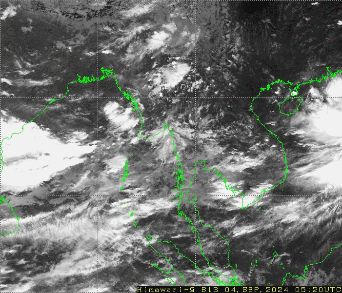
ဘင်္ဂလားပင်လယ်အော်အခြေအနေ
ဘင်္ဂလားပင်လယ်အော်တွင် လေဖိအားနည်းရပ်ဝန်း(၁)ကြိမ် ဖြစ်ပေါ်နိုင်ပြီး ပိုမိုအားကောင်းလာကာ
မုန်တိုင်းငယ်အဖြစ်သို့ ရောက်ရှိနိုင်ပါသည်။ ကပ္ပလီပင်လယ်ပြင်နှင့် ဘင်္ဂလားပင်လယ်အော်
တို့တွင် မုတ်သုံလေ အားအသင့်အတင့်မှ အားကောင်းနိုင်ပါသည်။
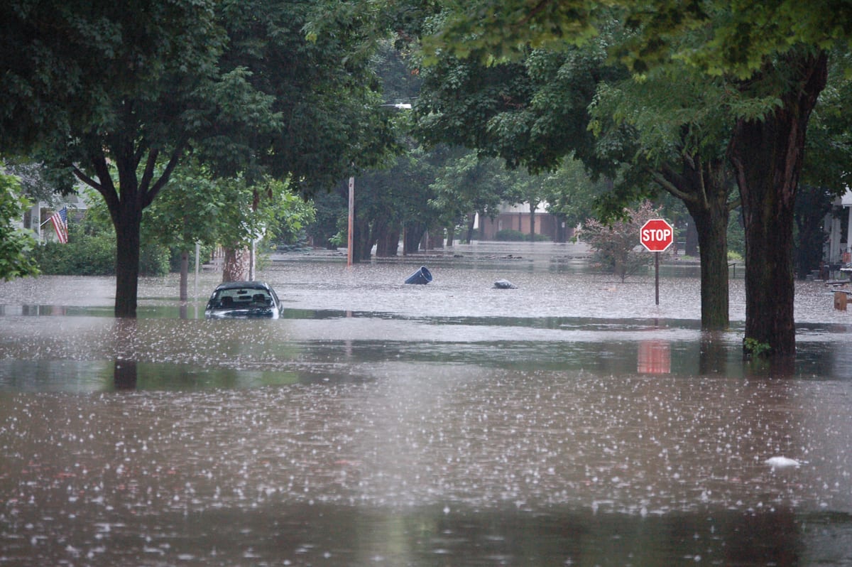
မိုးအခြေအနေနှင့် မိုးရွာရက်
ပဲခူးတိုင်းဒေသကြီး၊ ရန်ကုန်တိုင်းဒေသကြီး၊ ဧရာဝတီတိုင်းဒေသကြီး၊ တနင်္သာရီတိုင်း ဒေသကြီး၊
ရခိုင်ပြည်နယ်၊ ကရင်ပြည်နယ်နှင့် မွန်ပြည်နယ်တို့တွင် ရွာသွန်းမြဲထက်ပိုပြီး၊ကျန်တိုင်း
ဒေသကြီးနှင့် ပြည်နယ် တို့တွင်ရွာသွန်းမြဲခန့်မိုးထစ်ချုန်းရွာနိုင်ပါသည်။
မိုးရွာရက်အနေဖြင့် တစ်ပြည်လုံးတွင် (၆)ရက်မှ (၉)ရက်ခန့် မိုးထစ်ချုန်းရွာနိုင်ပါသည်။