 Burmese
 English

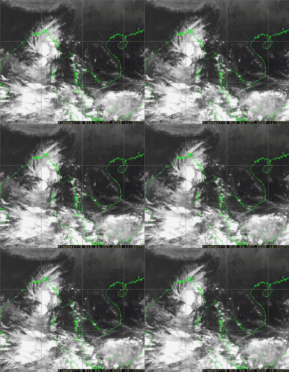
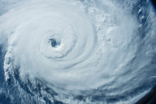
၂၅-၁၀-၂၀၂၆ ယနေ့မြန်မာစံတော်ချိန် ၀၅:၃၀ နာရီအချိန် တိုင်းထွာချက်များအရ ဘင်္ဂလား ပင်လယ်အော်အရှေ့အလယ်ပိုင်းနှင့် ယင်းနှင့်ဆက်စပ်လျက်ရှိသော ဘင်္ဂလားပင်လယ်အော်အရှေ့တောင်ပိုင်းတို့တွင် ဖြစ်ပေါ်နေသော အားကောင်းသောလေဖိအားနည်းရပ်ဝန်း(Well Marked Low Pressure Area)သည် ပိုမို အားကောင်းလာကာ မုန်တိုင်းငယ်(Depression)အဖြစ်သို့ ရောက်ရှိခဲ့ပါသည်။ အဆိုပါ မုန်တိုင်းငယ်သည် မြန်မာနိုင်ငံ၊ ကိုကိုးကျွန်းမြို့(Coco Island)၏ အနောက်မြောက်ဘက် ရေမိုင် ၁၅၀ မိုင်ခန့်၊ အိန္ဒိယနိုင်ငံ၊ ဗီဆာကာပတ္တနမ်မြို့ (Visakhapatnam)၏ အရှေ့-အရှေ့တောင်ဘက် ရေမိုင် ၄၆၅ မိုင်ခန့်နှင့် ကာကီနာဒါမြို့(Kakinada)၏ အရှေ့-အရှေ့တောင်ဘက် ရေမိုင် ၅၂၀ မိုင်ခန့်အကွာ ပင်လယ်ပြင်ကို ဗဟိုပြုနေပါသည်။ ကပ္ပလီပင်လယ်ပြင်မြောက်ပိုင်း တွင် တိမ်အနည်းငယ် ဖြစ်ထွန်းနေပြီး ကပ္ပလီပင်လယ်ပြင်တောင်ပိုင်းနှင့် ဘင်္ဂလားပင်လယ်အော်တို့တွင် တိမ်အသင့်အတင့် မှ တိမ်ထူထပ်နေပါသည်။
WFR Model ခန့်မှန်းချက်
WRF MODEL OUTPUTS
Issued on (02.07.2020)
Forecast for Surface Temperature & Pressure
WRF MODEL OUTPUTS
Issued on (01.07.2020)
Forecast for Surface Temperature & Pressure
Weather Forecast for Regions & States Cities
(01.07.2020) to (04.07.2020)
Weather Forecast for Regions & States Cities
(30.06.2020) to (03.07.2020)
WRF MODEL OUTPUTS
Issued on (30.06.2020)
Forecast for Surface Temperature & Pressure
Weather Forecast for Regions & States Cities
(29.06.2020) to (02.07.2020)
WRF MODEL OUTPUTS
Issued on (29.06.2020)
Forecast for Surface Temperature & Pressure
Weather Forecast for Regions & States Cities
(28.06.2020) to (01.07.2020)
WRF MODEL OUTPUTS
Issued on (28.06.2020)
Forecast for Surface Temperature & Pressure
Weather Forecast for Regions & States Cities
(26.06.2020) to (29.06.2020)






 အ စီ ရင် ခံ စာ များ

