Myanmar Daily Weather Report
Myanmar Daily Weather Report
(Issued at 4:00 pm on Tuesday 23rd June, 2015)
BAY INFERENCE: Monsoon is moderate to strong in the Andaman Sea and South Bayand strong elsewhere in the Bay of Bengal.
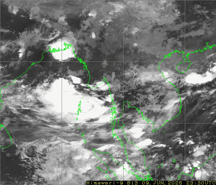
SPECIAL FEATURES: According to the observations at (12:30)hrs MST today, the
tropical storm (Kujira) over Gulf of Tonkin (South China sea) is centered at about
(180)miles of Hanoi (Vietnam). It is forecast to move West wards.
FORECAST VALID UNTIL EVENING OF THE 24th June, 2015: Rain will be scattered in Lower Sagaing,
Mandalay and Magway Regions, Kayah States, fairly widespread in Upper Sagaing Region and Kachin,
Shan and Chin States and widespread in the remaining Regions and States with likelihood of regionally
heavy falls in Taninthayi Region, Rakhine and Mon States, isolated heavy falls in Yangon and Ayeyarwady
Regions, Mon State. Degree of certainty is (100%).
STATE OF THE SEA: Occasional squalls with rough sea will be experienced Deltaic, off and along
Rakhine Coasts. Surface wind speed in squalls may reach (40) m.p.h. Seas will be moderate to strong
elsewhere in Myanmar waters.
OUTLOOK FOR SUBSEQUENT TWO DAYS: Continuation of increase of rain in the Coastal areas.
FORECAST FOR NAYPYITAW AND NEIGHBOURING AREA FOR 24th June, 2015: One or two rain.
Degree of certainty is (100%).
FORECAST FOR YANGON AND NEIGHBOURING AREA FOR 24th June, 2015: Some rain. Degree
of certainty is (100%).
FORECAST FOR MANDALAY AND NEIGHBOURING AREA FOR 24th June, 2015: Isolated rain.
Degree of certainty is (100%).